you are here: The Divide >> Chapter XXII: Jenin area
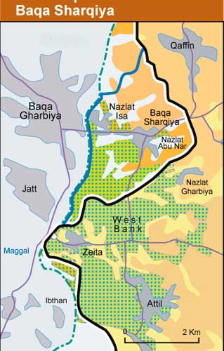
Agricultural map of the Nazlat Isa area
PENGON, 2003.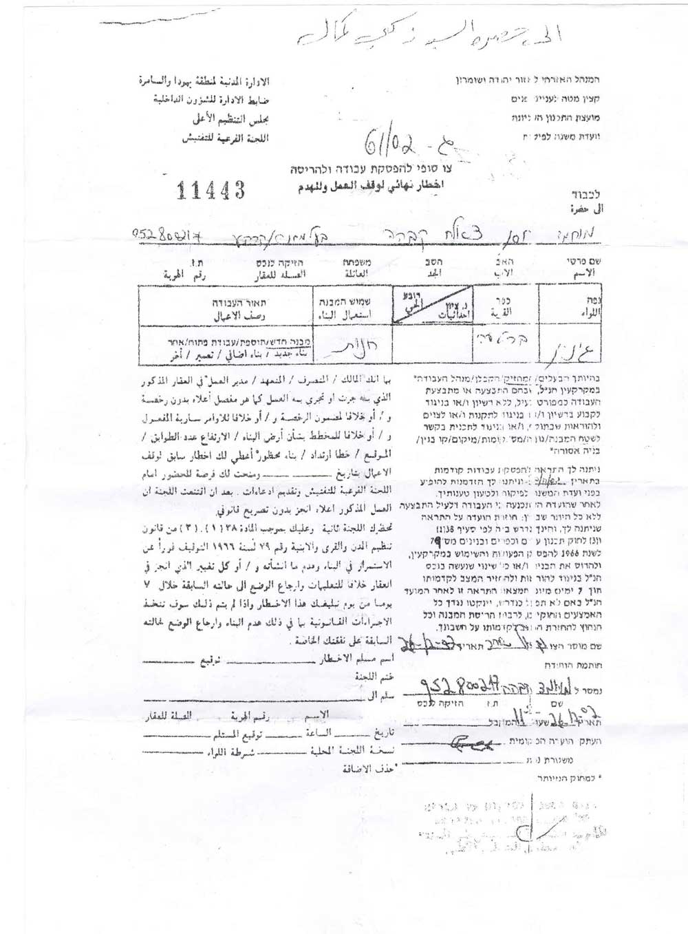
Demolition order no. 11443 for a Palestinian shop in Nazlat Isa
Photo: PENGON, 2003.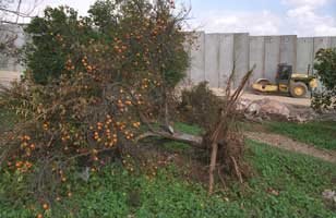
Baqa al Gharbiya
Photo: Alex Levac, 2003-2004.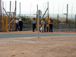
Civilians waiting to cross the southern entrance of the separation barrier to Baqa ash Sharqiya
Photo: Yehezkel Lein / BTselem, 2003.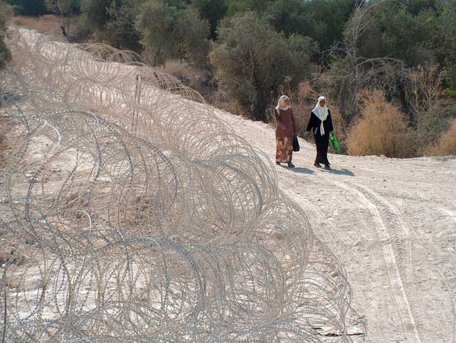
Civilians waiting to cross the southern entrance of the separation barrier to Baqa ash Sharqiya
Photo: Yehezkel Lein / BTselem, 2003.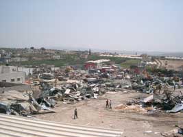
Shops demolished to make way for the barrier
Photo: PENGON, 2003.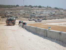
Construction workers lay concrete as construction on the separation barrier begins at Salem
Photo: BTselem, 2003.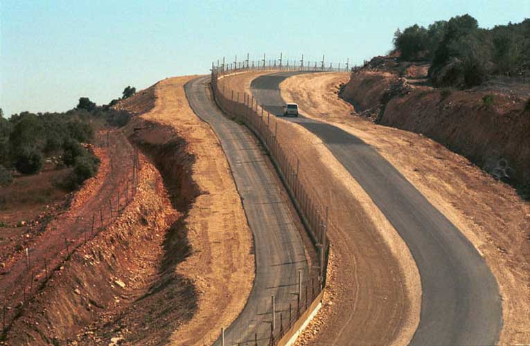
The newly built separation fence next to the northern Israeli-Arab village of Um El Fahem. The fence was built in the southern outskirts of the village in order to separate the village from the northern part of the West Bank.
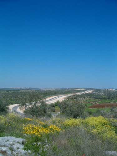
Photo: Ahikam Seri, 2003.Image taken from Kibbutz Metzer. The flowery fields, where the photographer stands, now belong to the Kibbutz and were expropriated from the neighboring Palestinian village Qaffin. The security fence runs in the middle and the village can be seen in the background. The two localities used to enjoy very good relations, but after a Palestinian terror attack that has left three people dead, the Kibbutz wanted a security fence to be erected. However, they would have preferred it to stand closer, on their own lands.
Photo: Noa Olchovsky, 2004.
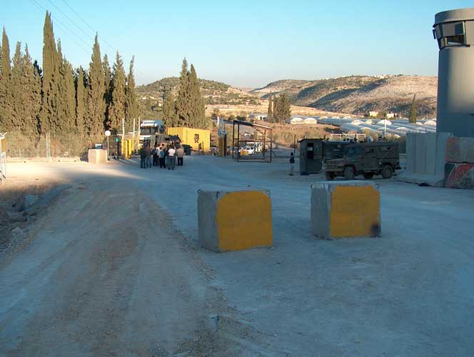
Qaffin gate
Photo: Yehezkel Lein / BTselem, 2003.